Ice Age National Scenic Trail
Use Caution — Tisch Mills Segment — Flooding may occur between Mill Rd. and Nuclear Rd., especially in spring or after heavy rain. A bypass is available via CTH‑B between CTH‑BB and Nuclear Rd. For maps and additional details from the Ice Age Trail Alliance, follow the link below: Details ↗
Reroute in Effect — Algoma Connecting Route Segment — A reroute is in effect on the connecting route south of Algoma. The bridge over Three Mile Creek on Longfellow Rd is closed to all travel. Bypass this closure via 9th Rd and STH‑42; note that the 10th Rd bridge is also closed. This 2.7‑mile alternate route replaces 2.8 miles of c Details ↗
Reroute in Effect — Sturgeon Bay Segment — A 0.1‑mile section of the Ice Age Trail between S Neenah Ave and W Yew St is closed indefinitely. Bypass this closure via S Neenah Ave and W Yew St. This 0.5‑mile alternate route replaces 0.5 miles of Ice Age Trail. For maps and additional details from the Ice Age Trail Alliance, Details ↗
Reroute in Effect — Monticello Segment — The Stewart Tunnel is closed indefinitely pending reconstruction. The Ice Age Trail is closed at both intersections of Tunnel Rd. Follow Tunnel Rd to bypass the closure and remain on the designated alternate route. For maps and additional details from the Ice Age Trail Alliance, Details ↗
Reroute in Effect — Hartman Creek Segment — A reroute is in effect between the Emmons Creek Fishery Area and Hartman Creek State Park due to forestry operations. Follow posted signage to remain on the designated reroute. For maps and additional details from the Ice Age Trail Alliance, follow the link below: Details ↗
Reroute in Effect — Cross Plains Segment — A reroute is in effect along the Cross Plains Segment from Sherwood Forest Ln to Park St. Eastbound hikers should continue southwest on CTH‑KP, head east on USH‑14, and turn north on Market St. The 0.8‑mile bypass replaces 0.5 miles of connecting route and Ice Age Trail. For maps Details ↗
Source: US National Park Service, refreshed several times a day.
Introductie
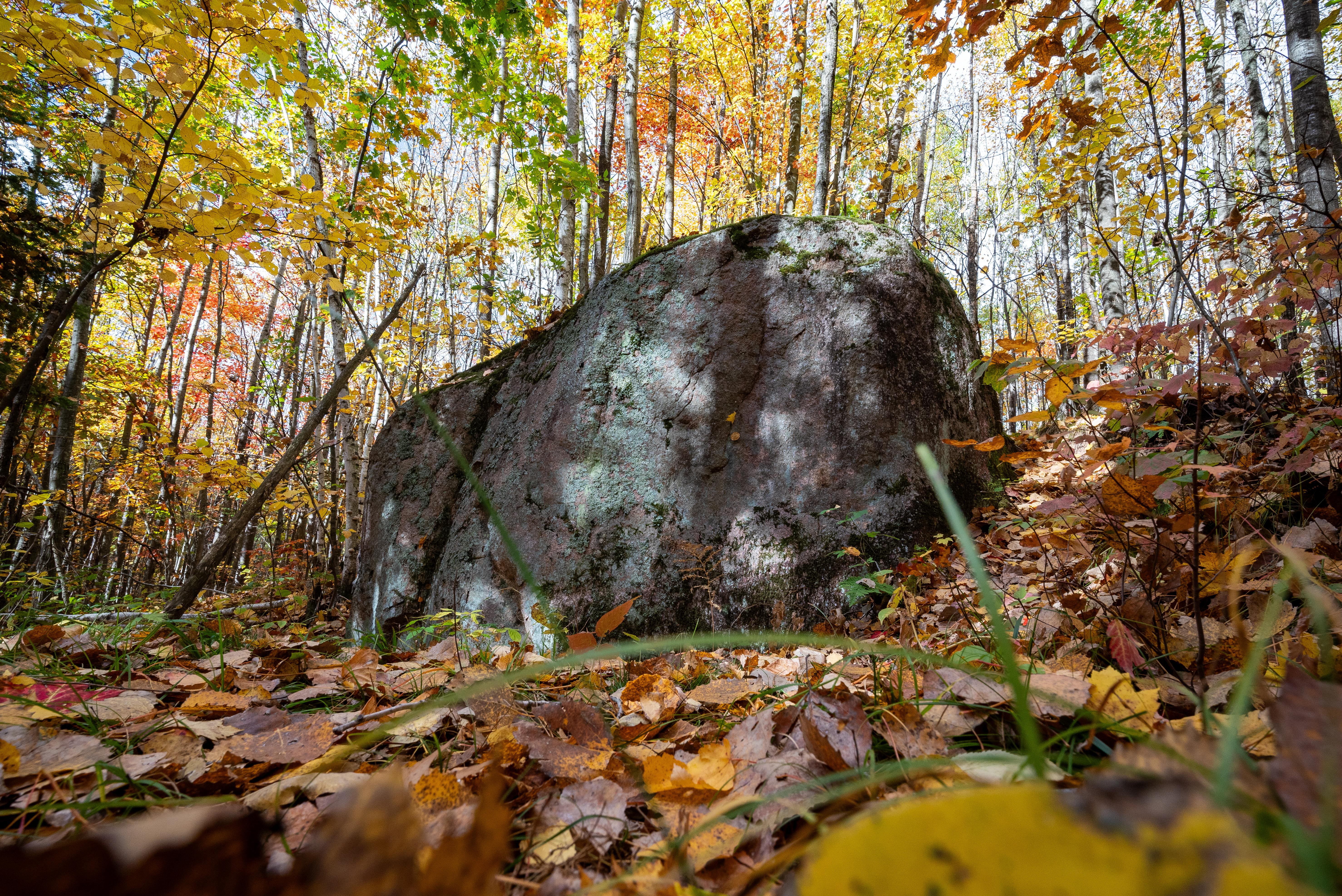
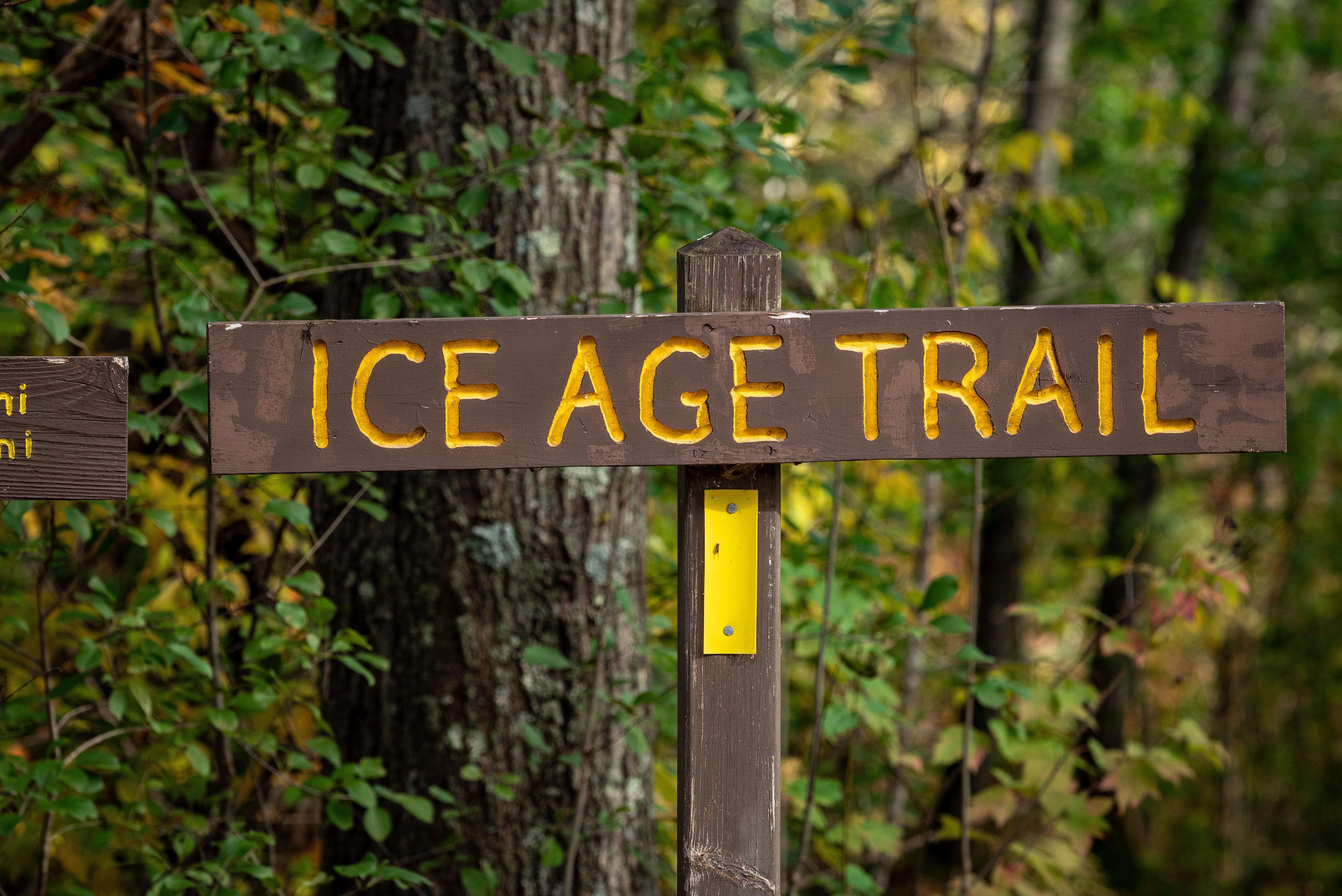
Het Ice Age National Scenic Trail is een langeafstandswandelpad dat meer dan 1.200 mijl door Wisconsin loopt. Het laat de geologische kenmerken zien die door gletsjers tijdens de laatste ijstijd zijn gevormd, en biedt een uniek perspectief op de natuurlijke geschiedenis van de regio.
Reizigers komen om de diverse landschappen te ervaren, van bossen tot prairies, en om te genieten van de rust van de natuur. Het pad is populair bij wandelaars, natuurliefhebbers en mensen die op zoek zijn naar een vredige ontsnapping in de natuur.
In beeld
Dingen om te weten
Goed om te weten
Foto: NPS Photo / Billy Flynn